
Latest Line on Agriculture Reports


Comments
Latest Reports

Financing for Produce Growers
Fri Apr 26

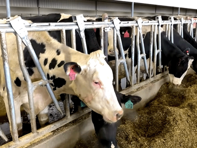
Moving Dairy Cattle? Get Ready for Testing!
Fri Apr 26


Mass on Drought Emergency Pt 2
Fri Apr 26

WPC on Lost Farms Pt 2
Fri Apr 26

Joe Anderson
Fri Apr 26

TX Citrus Under Fruit Fly Attack
Fri Apr 26